Nearest town: Richmond
Site type: upland
Access: Public
Church name: No Data
Diocese: No Data
County: Yorkshire - North
Country: England
Grid ref: NZ05390581
Lost yew site: Yes
Date visited: 20-Aug-10
Recorded by: Tim Laurie
Protection & responsibility: Landowner
Yews recorded at this site: No Data
Notes: An upland moorland site, surveyed between 20th and 28th August 2010. It is visible from public access and permission is not required to view.

| Tree ID | Location | Photo | Yews recorded | Girth |
|---|---|---|---|---|
| 3499 | Arndale Hole Lower Scar | 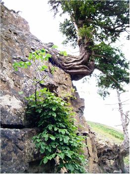 |
Notable | 300cm at 100cm - view more info |
| 3498 | Arndale Hole Lower Scar | 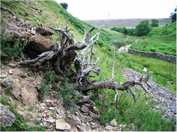 |
Lost | 300cm at 100cm - view more info |
| 3496 | Arndale Hole Lower Scar | 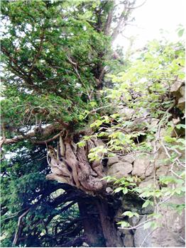 |
Notable | 300cm at 50cm - view more info |
| 3495 | Arndale Hole Lower Scar | 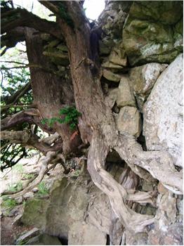 |
Notable | 300cm at 50cm - view more info |
| 3493 | Arndale Hole Lower Scar | 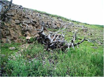 |
Lost | 300cm at 100cm - view more info |
| 3494 | Arndale Hole Lower Scar | 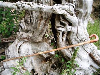 |
Lost | 292cm at 100cm - view more info |
| 3500 | Arndale Hole Lower Scar | 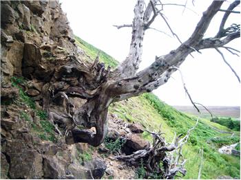 |
Lost | 180cm at 100cm - view more info |
| 3497 | Arndale Hole Lower Scar | 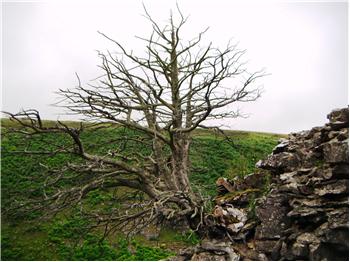 |
Lost | 165cm at 100cm - view more info |
