
Nearest town: Fordingbridge
Site type: boundary
Access: Public
Church name: No Data
Diocese: No Data
County: Hampshire
Country: England
Grid ref: SU07101560
Lost yew site: No
Date visited: No data
Recorded by: Peter Andrews
Protection & responsibility: Landowner
Yews recorded at this site: Ancient 4m-5m
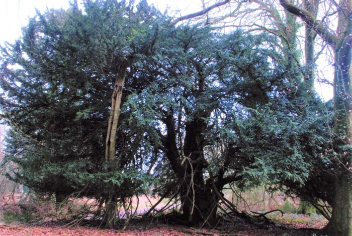
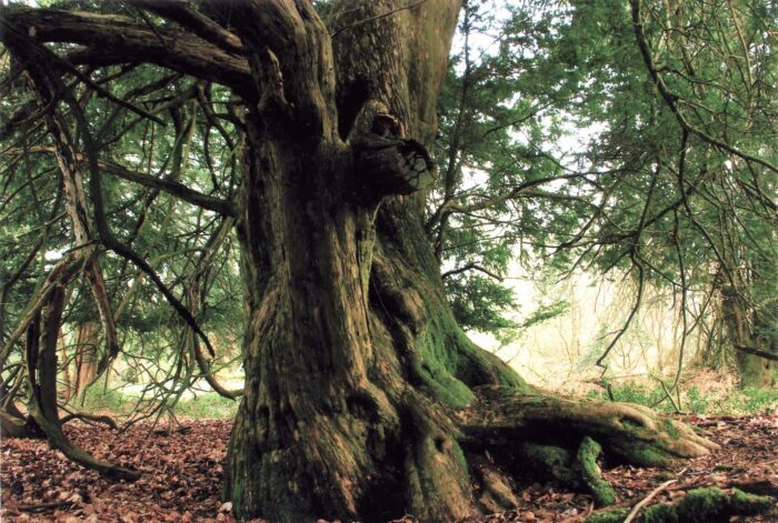
Notes: The yew grows on top of the Romano/British earthwork called the Bokeley Ditch, which appears here as a low boundary bank. The yew grows by a public footpath that runs through the wood and marks the boundary between Dorset and Hampshire. The location is close to Mears Pond, marked in a perambulation of 1246.

| Tree ID | Location | Photo | Yews recorded | Girth |
|---|---|---|---|---|
| 3380 | Cranborne / Damerham area - Boulsbury Wood |  |
Ancient 4m-5m | 427cm at 30cm - view more info |