
Nearest town: Royal Tunbridge Wells
Site type: woodland
Access: Public
Church name: No Data
Diocese: No Data
County: Sussex - East
Country: England
Grid ref: TQ55403580
Lost yew site: No
Date visited: 10-Oct-11
Recorded by: Tim Hills
Protection & responsibility: No data
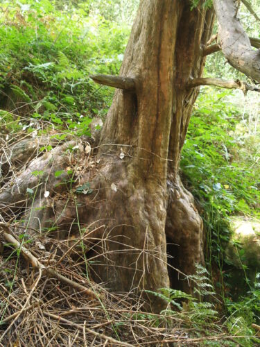
Yews recorded at this site: Notable
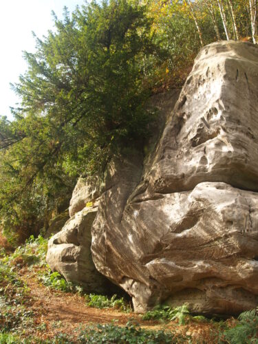
Notes: This SSSI contains an area of ancient woodland on Grinstead clays with outcrops of Tunbridge Wells sandstone. Eridge Green is shown as woodland on the 1st edition Ordnance Survey map of 1816. The sandstone outcrop is up to 10 metres high.

| Tree ID | Location | Photo | Yews recorded | Girth |
|---|---|---|---|---|
| 3620 | Eridge Green |  |
Notable | No data available - view more info |