Nearest town: No Data
Site type: woodland
Access: Public
Church name: No Data
Diocese: No Data
County: Sussex - West
Country: England
Grid ref: SU98500880
Lost yew site: No
Date visited: 10-Feb-11
Recorded by: Peter Norton
Protection & responsibility: No data
Yews recorded at this site: Ancient 5m-7m
Notes: Fairmile Bottom lies on a north-west facing scarp slope of the South Downs, where the Upper Chalk is covered by a thin layer of clay-with-flints.

| Tree ID | Location | Photo | Yews recorded | Girth |
|---|---|---|---|---|
| 3556 | Fairmile Bottom SSSI | 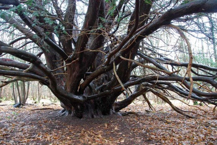 |
Ancient 5m-7m | 683cm at root crown - view more info |
