Nearest town: Salisbury
Site type: woodland
Access: Public
Church name: No Data
Diocese: No Data
County: Wiltshire
Country: England
Grid ref: SU20803320
Lost yew site: No
Date visited: No data
Recorded by: Tim Hills
Protection & responsibility: No data
Yews recorded at this site: Notable
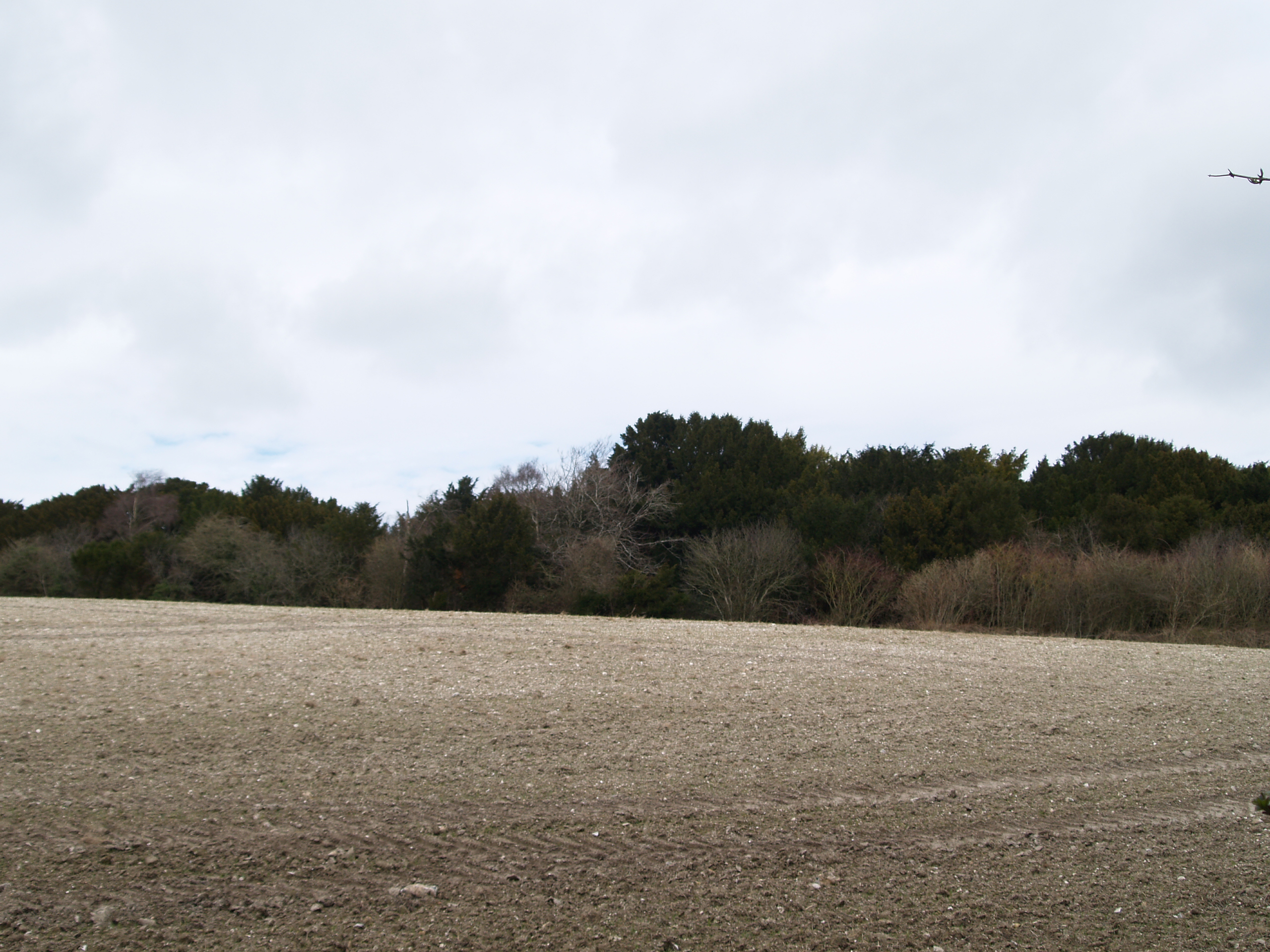
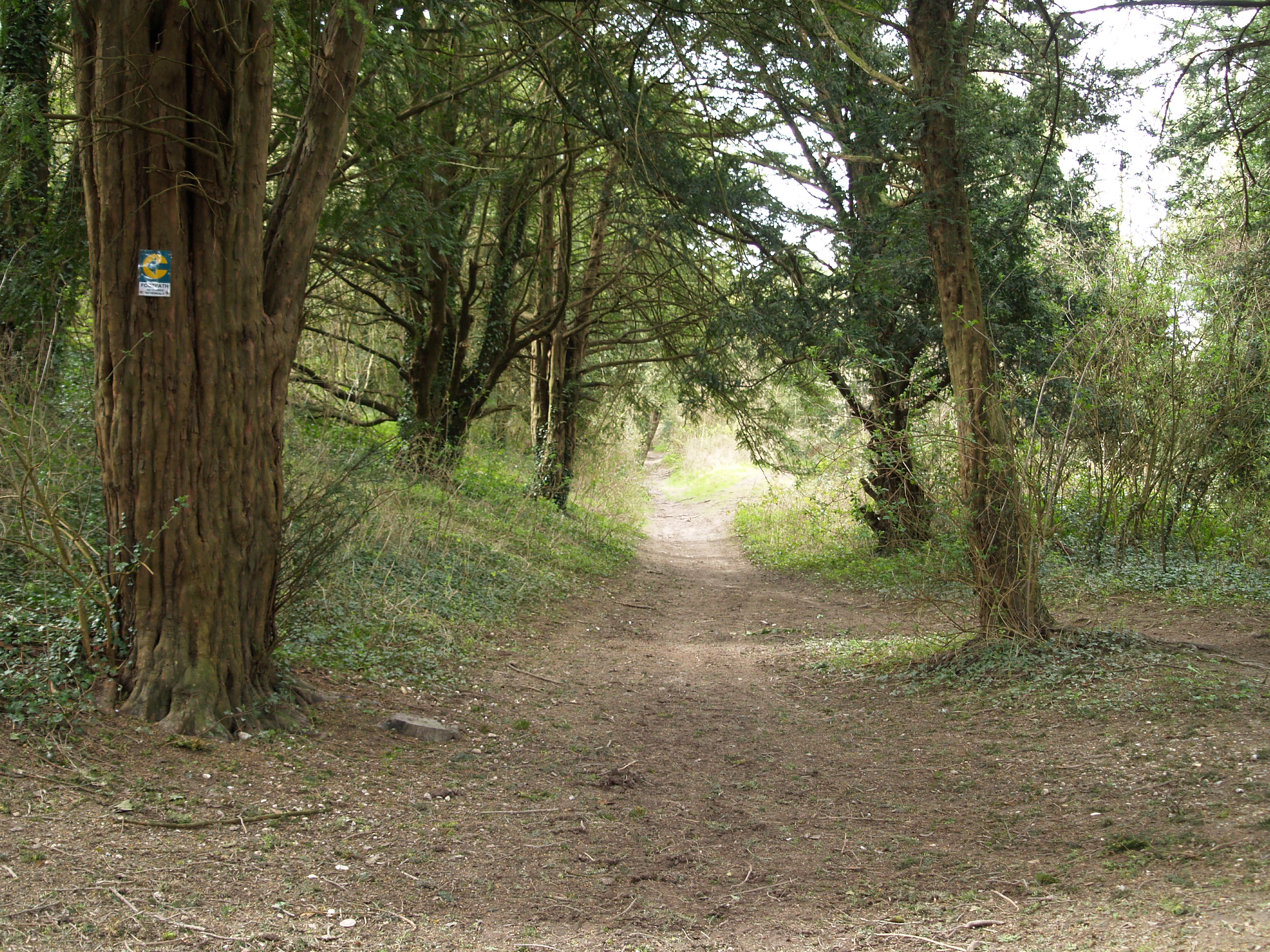
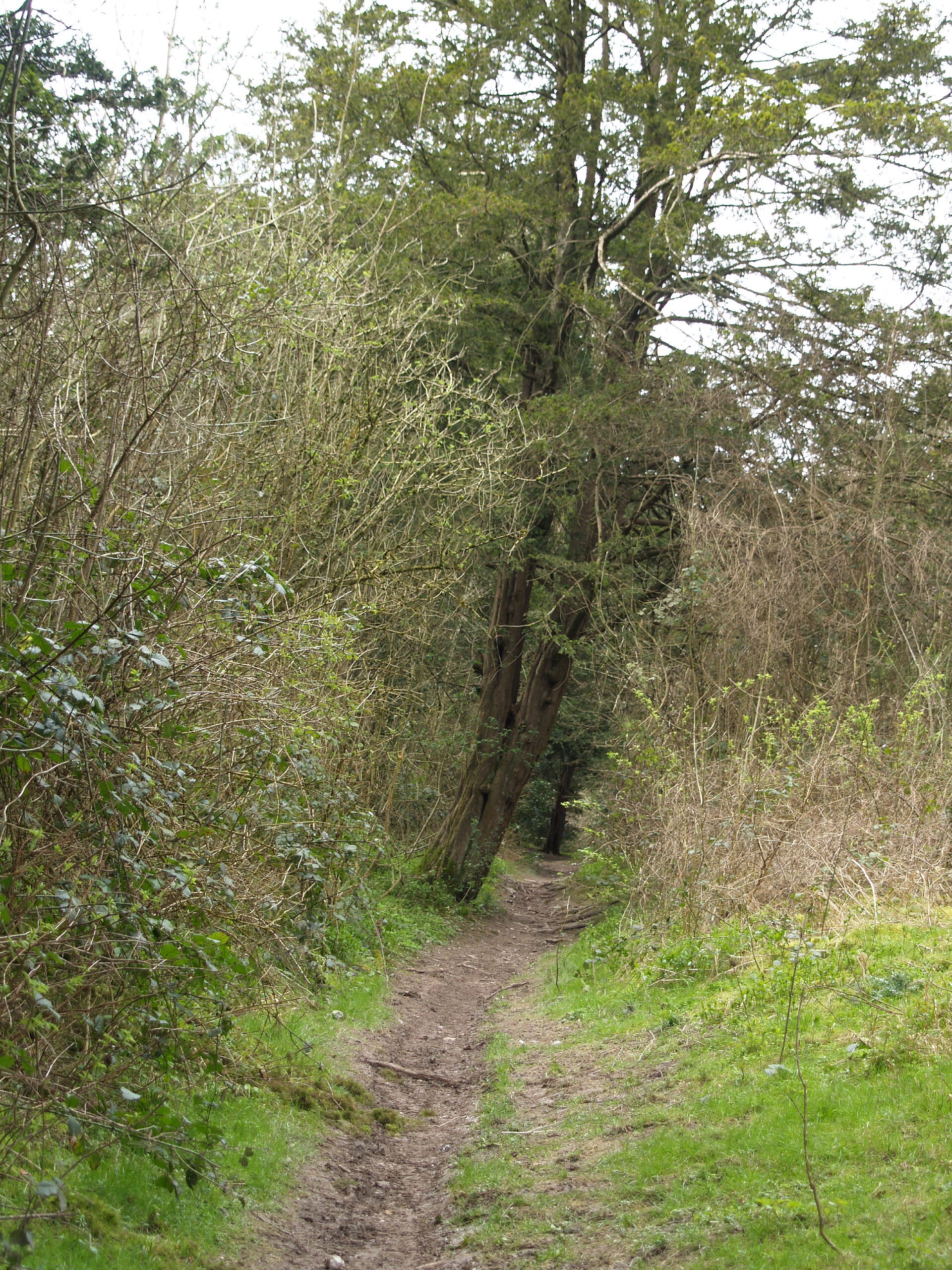
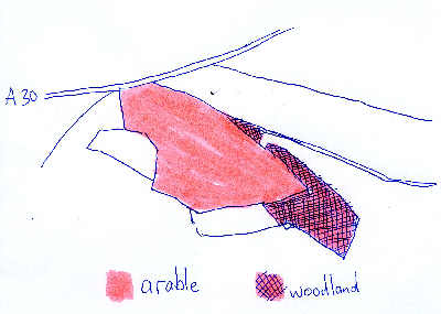
Notes: A threatened woodland site, lying south of the road that runs from the A30 through Firsdown towards the Winterslows. The planned housing development covers a total of 20.76 hectares, but most alarming is that the proposals describe the land as 'Agriculture - arable', while the plan seen here clearly shows that about a quarter of the land is woodland. Part of a yew lined section of a Roman Road (connecting Winchester and Old Sarum) runs across the southern part of the site.
| Tree ID | Location | Photo | Yews recorded | Girth |
|---|---|---|---|---|
| 2876 | Firsdown | 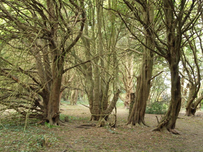 |
Notable | No data available - view more info |