Nearest town: Haselmere
Site type: woodland
Access: Public
Church name: No Data
Diocese: No Data
County: Surrey
Country: England
Grid ref: SU89503630
Lost yew site: No
Date visited: 25-May-13
Recorded by: Peter Norton
Protection & responsibility: National Trust
Yews recorded at this site: Ancient 4m-5m
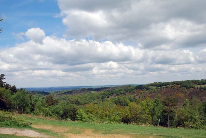
Notes: The Devil's Punchbowl is a large hollow of dry sandy heath to the west of Hindhead. It is owned by the National Trust, and was their first acquisition after being formed in 1895. It is overlooked by the 894' high Gibbet Hill, the second highest hill in Surrey. The area has been designated as a Site of Special Scientific Interest (SSSI) and sits in an Area of Outstanding Natural Beauty (AONB). A three mile stroll revealed a few yews along the various footpaths. The most notable are recorded here.
| Tree ID | Location | Photo | Yews recorded | Girth |
|---|---|---|---|---|
| 4170 | Hindhead | 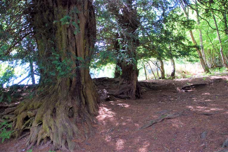 |
Ancient 4m-5m | 444.5cm at 30cm - view more info |
| 4171 | Hindhead | 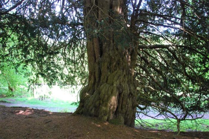 |
Ancient 4m-5m | 437cm at 30cm - view more info |
| 4172 | Hindhead | 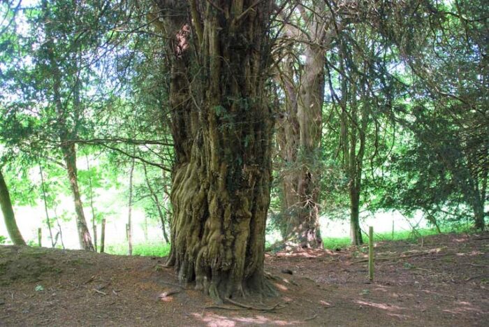 |
Ancient 4m-5m | 422cm at 30cm - view more info |