Nearest town: Stourbridge
Site type: historic site
Access: Public
Church name: No Data
Diocese: No Data
County: Staffordshire
Country: England
Grid ref: SO835832
Lost yew site: No
Date visited: 17-Oct-12
Recorded by: Paul Greenwood
Protection & responsibility: National Trust
Yews recorded at this site: Notable
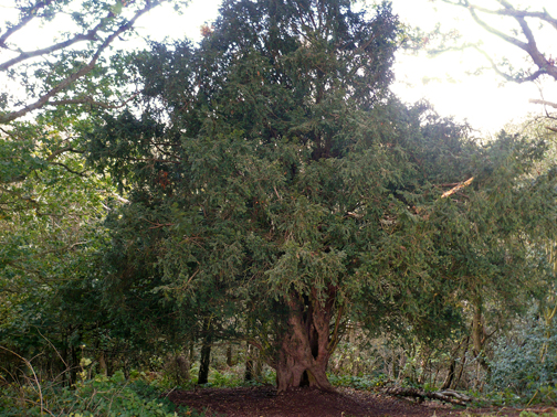
Notes: On the embankment of an Iron Age Hill Fort, on land owned and managed by the National Trust. Elevation about 500 ft, it is on a sandstone plateau now classisfied as heathland, i.e. very poor soil. Also in mixed woodland planted post 1945 but the area was once part of the great ancient Mercian forest.
| Tree ID | Location | Photo | Yews recorded | Girth |
|---|---|---|---|---|
| 4003 | Kinver Edge | 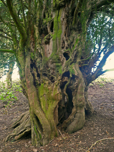 |
Notable | 396cm - view more info |
