
Nearest town: Newtown
Site type: field
Access: Private
Church name: No Data
Diocese: No Data
County: Powys
Country: Wales
Grid ref: SO09308780
Lost yew site: No
Date visited: 25-Apr-04
Recorded by: Tim Hills
Protection & responsibility: Landowner
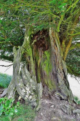
Yews recorded at this site: Ancient 4m-5m
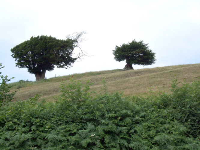
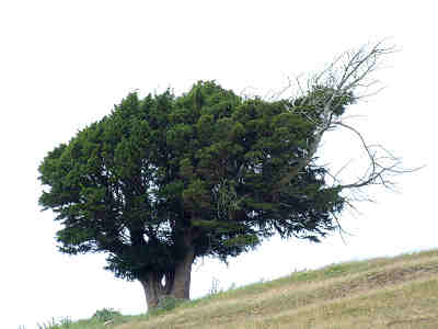
Notes: Two battered yews grow about 850' above sea level in an exposed position. In 2015 Paul Wood looked at Google Earth to pinpoint the yews. He noted a building site that is aligned roughly east/west and wondered whether this might be a lost church site. An 1807 map shows that the road (which is still there in earthwork form) once went right up to this building before turning 45 degrees east. This could certainly be a plausible explanation as to why the yews are there. It certainly confirms that these yews have not always sat in isolation.

| Tree ID | Location | Photo | Yews recorded | Girth |
|---|---|---|---|---|
| 1816 | Newtown / Dolfor road |  |
Ancient 4m-5m | 447cm at narrowest - view more info |
| 1817 | Newtown / Dolfor road |  |
Ancient 4m-5m | No data available - view more info |