Nearest town: Dorking
Site type: woodland
Access: Public
Church name: No Data
Diocese: No Data
County: Surrey
Country: England
Grid ref: TQ16405040
Lost yew site: Yes
Date visited: 1-Aug-13
Recorded by: Jenny Desoutter
Protection & responsibility: No data
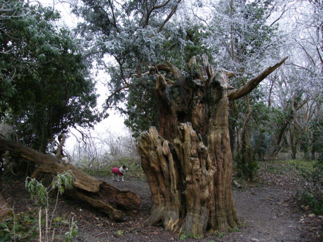
Yews recorded at this site: Ancient 4m-5m, Lost
Notes: The site is chalk, on a ridge sloping northwards into the vineyard which is only a few feet away. It is a well known local landmark in a strip of beech and thorn trees in a shelter belt about 30ft wide. It is in a significant position on the edge of a ridge, overlooking the valley adjacent to the Mole Gap, where the North Downs Way and the Pilgrims' Way descended from the Ranmore ridge to cross the Mole at the Stepping Stones, or Burford Bridge. The location has obviously always been a key vantage point and it is thought possible that Stane Street crosses the field.
| Tree ID | Location | Photo | Yews recorded | Girth |
|---|---|---|---|---|
| 3226 | Dorking - Ten acre field | 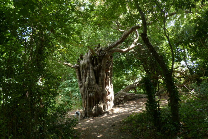 |
Ancient 4m-5m | 442cm at 90cm - view more info |
| 4407 | Dorking - Ten acre field |  |
Lost | No data available - view more info |

